ATHENS OH trip
Oct. 5-6 2022
PART 1
No colorful characters like the Getty Grouch, Old Stopsignface, the Colorado motel clerk, or the guy in Chattanooga who talked about TANK. Just a little overnight camping trip centered on a college town in southeastern Ohio. So be sure to let one rip!

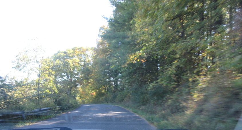
Google labels this as County Highway 38A near Wilkesville. It might also be Mound Hill Road. This is in Vinton County, which was not named for singer Bobby Vinton. The ROAD CLOSED sign foretells what looms, so hang on to your elbows!

County Highway 38A continues to be full of fun and play!

The ONE LANE BRIDGE sign is another clue as to the loomage.

It's...a covered bridge! This historic span is called the Eakin Mill Covered Bridge and crosses Big Raccoon Creek. The original bridge was built in 1870, though it apparently was rebuilt in 2003 because of structural damage caused by heavy trucks.

Looking across this amazing bridge!

US 50 has a rather elaborate meetup with US 33 in Athens. Note also that US 33 is signed as east-west despite its odd number. I remember a huge traffic jam going southeast on US 33 through Lancaster during my 1996 Columbus trip, as bespectacled motorists bubbled big.

We feed into Richland Avenue.

We got sidetracked onto Pleasant Hill Road, but the exact location here is unknown. Your Google timeline can be handy, but sometimes it tracks you when it thinks you're cheating on your girlfriend, even as it comes up empty when you try to locate your road photos.

This may be Pleasant Hill again.

This appears to be north on Pleasant Hill at Frum.

Man, that would have ruled if I had found an old U.S. route! Well, the world got its wish, as this is old US 33.

Old US 33 fever! Catch it!

Old US 33 again!

East on Shade Road.

Shade Road veers to the left.
Possibly still Shade Road, but I don't know if we've passed Gibbs Road, which presumably has nothing to do with the Brothers Gibb or the expression "Biddle gibzz!"

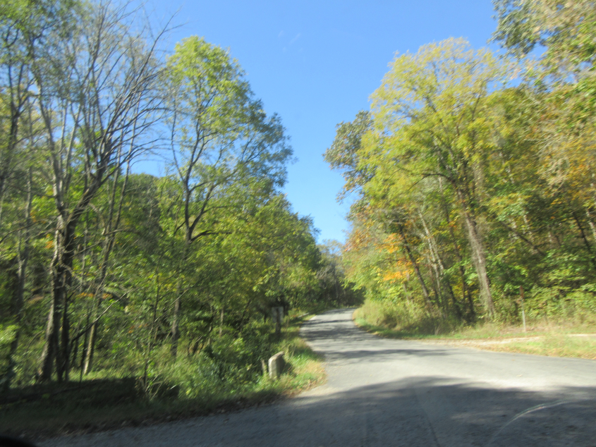
We slog southeast on a variety of roads.

My Google timeline suggests we turned south at Sargent Road and then went east on Bucks Lake Road, but again, this can't be pinpointed.
If I had to guess, I'd say this is back west on Bucks Lake Road at Carter Road.

Probably south on Carter.

A small sign references Zion Road, but I don't know the exact location here.

This has to be Zion Road.

Here's a surprise that just creeps up on you! The Blackwood Covered Bridge was constructed in 1881 and crosses the Middle Branch Shade River.