COLUMBUS roadmeet
Apr. 14-16 2023
PART 1
Roadmeets amassed by the number, and this one covered Columbus, Ohio. This city of nearly a million was the birthplace of Jack Nicklaus and Jermaine Stewart. The meet occurred on Saturday, April 15, and drew 6 people, but this photo shoot spans the whole amazing weekend!

I glided into Columbus on Friday via Greyhound with a mischievous smirk on my face. This is in front of Columbus's disappointing transit station, looking west on Rich Street - US 62/OH 3 west.

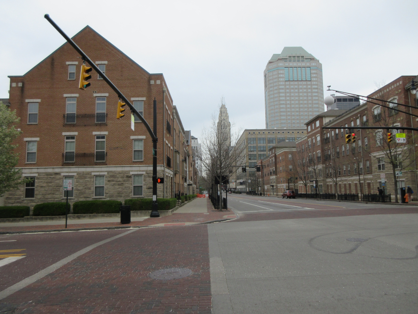
Root! This is east on Rich. I think the Root/Coastal Ridge building is luxury apartments. Downtown Columbus was unfortunately full of gentrification like this. But I must let the show go on, I guess.

From Rich, this is north on Wall Street (like Occupy Wall Street). The narrow, brick-paved Wall Street seems to lead into a building, but I don't think it actually does.

North on Front. The newer tall building seen here is the Vern Riffe State Office Tower, completed in 1988. Mike DeWine's office was on the 30th floor. DeWine probably signed some of his authoritarian diktats there. The older skyscraper behind it is the LeVeque Tower, which is actually taller and was completed in 1927. When it opened, it was the 5th-tallest building in the world.

West on Rich, which is two-way by this point. In the background, it makes a slight right onto the Rich Street Bridge.

Nearing the Rich Street Bridge.

North on Civic Center Drive from Rich. You can see the Scioto River with the Discovery Bridge crossing it. The Discovery Bridge carries Broad Street - US 40. This span opened in 1992 but replaces a succession of earlier bridges.

The Main Street Bridge over the Scioto River. This bridge opened in 2010, again replacing a succession of older spans. The 1937 bridge that came before this one was deemed unfit for use in 2002 and closed. Both the Rich and Main bridges are two-way, but they carry opposing directions of US 62/OH 3.

The Rich Street Bridge has this sculpture of a deer. This bridge was completed in 2012, replacing a 1917 bridge. Rich Street becomes Town Street as it crosses the river, while Main becomes Rich.

Town Street goes under a rail bridge.

East on Broad. This is after I strolled past COSI, which relocated a few years after we almost broke a vending machine during a college trip.

North on Belle at Broad.

Gravity! The big G! G-R-A-V-I-T-Y! Broad goes under the same rail line that goes over Town.

Under the rail bridge in the previous photo, another span looms ahead.

South on McDowell at Broad.

West on Broad at Gift. What you see here is the Gen. William Henry Harrison Headquarters, a historic house built in 1807.

The Harrison HQ was graced by one of those very old purple sign blades that still sometimes turn up on buildings.

North on Skidmore.

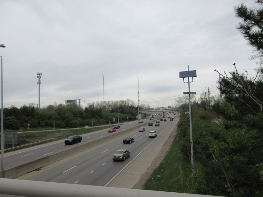
From Broad, this is north on OH 315 - the Olentangy Freeway. This is the freeway where I saw the "DUKAKIS #1" graffiti during my 1992 Cleveland trip. A 1956 map shows a divided surface road here.

North on Green.

East on Scott. This road used to go straight through before OH 315 was built there.

North on Souder under another rail bridge.

Another rail span can be found going west on McKinley.

Looking south on Rodgers to yet another rail bridge.