GEORGETOWN OH/MAYSVILLE KY
July 18 2022
PART 1
I celebrated my 49th birthday by powering through the pain in life and going on this automotive outing through the rural counties southeast of Cincinnati. Peep it now before it peeps you!

I start near Batavia. And you know what they say about Batavia: You better behavia when you're in Batavia! Anyway, this is OH 222 at Mount Holly or Chapel Road.

OH 222 splits from OH 125 near Bantam. Every time I think of Bantam, I think of Bantam Books. OH 125 is one of these rural 4-lane undivided highways that seems almost post-apocalyptic, and the traffic light in the middle of nowhere just adds to it.
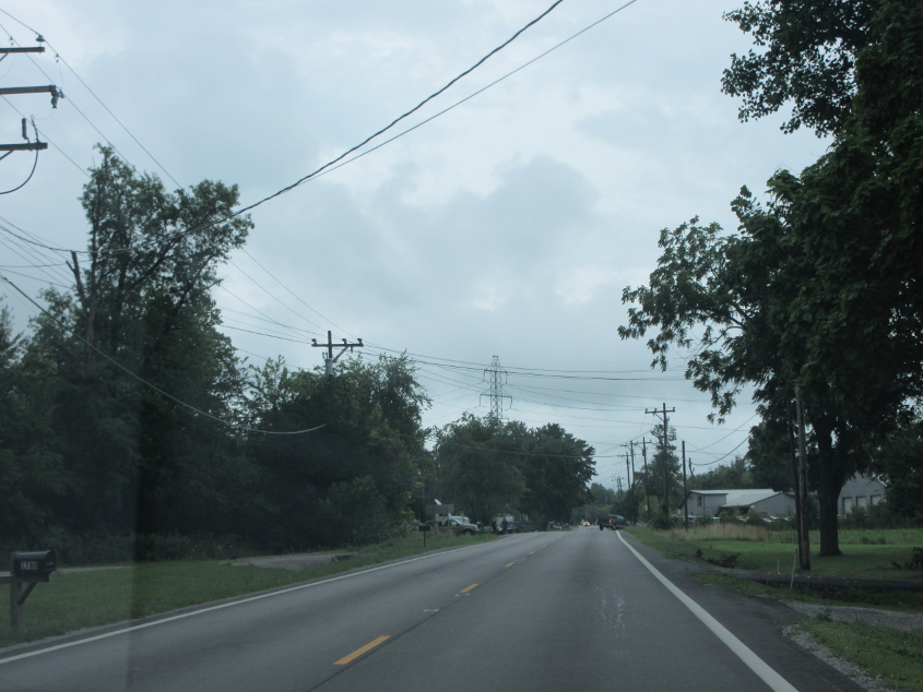
Hamer time! This is OH 125 near Hamersville.

OH 125 resumes its post-apocalyptic look. OH 125 was OH 25 before US 25 was created.

OH 125 used to cross US 68 here in downtown Georgetown before the bypass was built.

OH 125 in Georgetown. Is this the last remaining IGA within 50 miles of Cincinnati? I remember people bubbling at the Fort Thomas IGA.

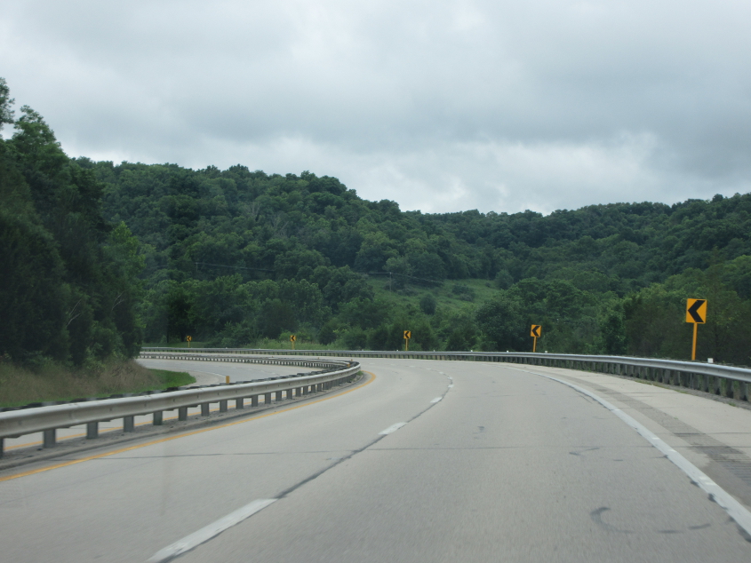
Now we're on US 68.
US 62/68.
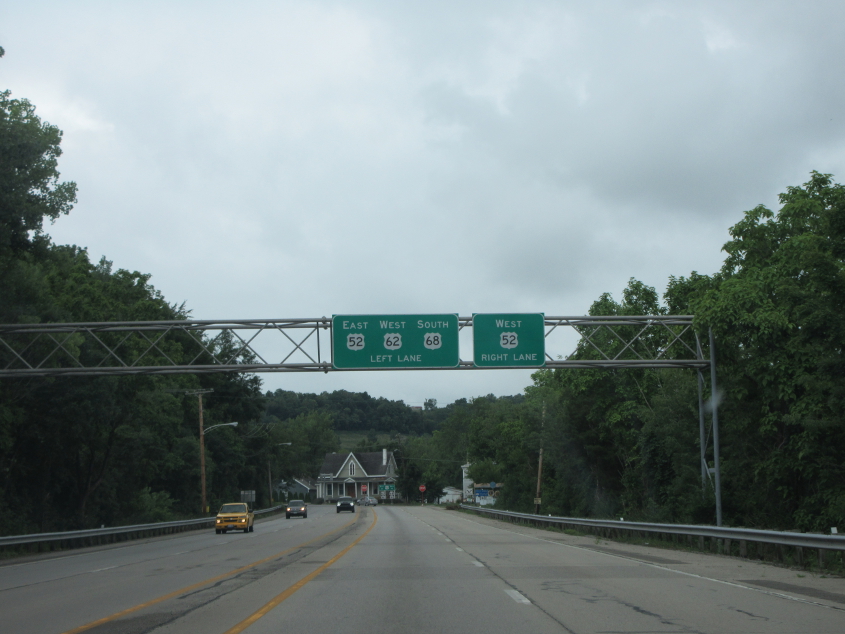
We join US 52 in Ripley.

US 52/62/68 in Ripley. The 1970s Mountain Dew logo lives. The Pepsi sign across the road is probably a little bit newer than the Pepsi mullet. I think it's more like the Pepsi helmet hair.

US 52/62/68 just past Ripley. This is significant because this stretch reverted from a divided highway to undivided. The roadway at left used to be the other side of this road. There used to be a dual bridge over Eagle Creek, but only one span remains. The current bridge was built in 1956, while the older span alongside it lasted until 1983. There was also reportedly a covered bridge a few miles up the creek that was destroyed by the 1997 flood.
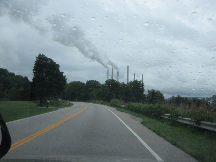
US 52/62/68 again. The power station we see here is across the Ohio River in Kentucky.
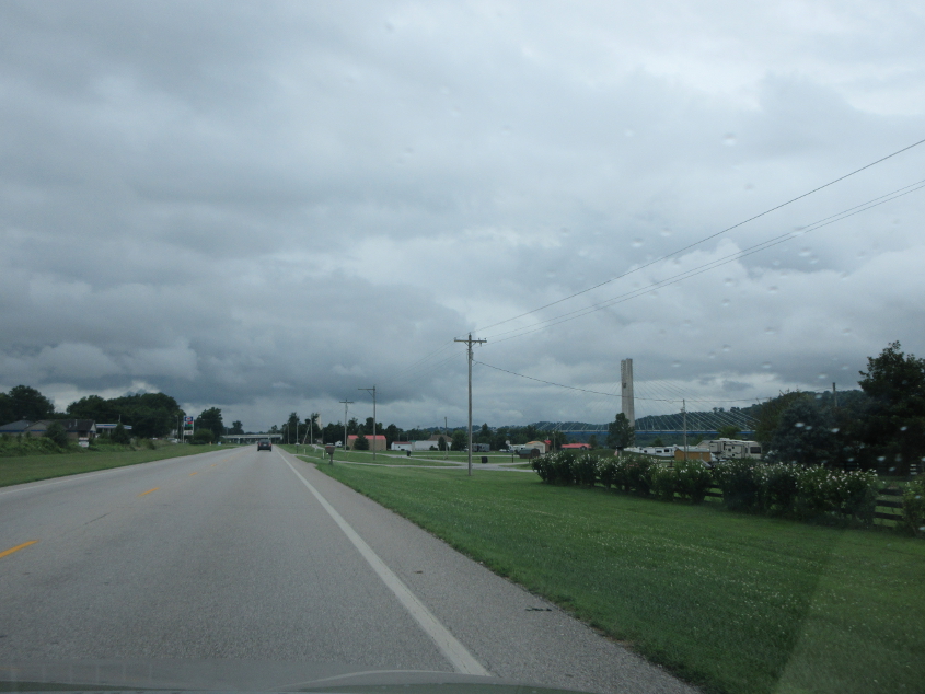
In Aberdeen, we lose US 68 as it crosses the William H. Harsha Bridge to the northwest end of Maysville. US 68 loops over US 52/62 up ahead and crosses the river at right. The bridge opened in 2000.

A closer view of the US 68 bridge.

It's the Pepsi mullet! Deep in the background you can see the Simon Kenton Memorial Bridge, a 1931 span that carries US 62 to downtown Maysville.

US 52/62 at Locust Street, approaching Fish Alley. I remember a character on Fish bubbling. The marker ahead says Biz US 62 uses the bridge, but other signage confirms that it's just plain old US 62.
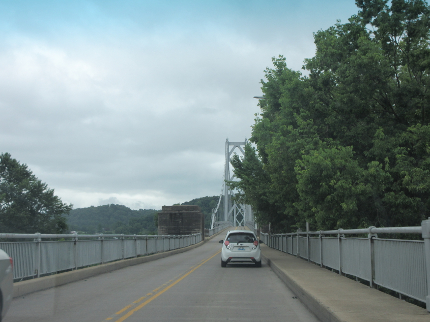
The narrow US 62 bridge to Maysville. I remember TV weatherpeople in Cincinnati pointing at this part of the map and saying spooky things like "the edge of the Channel 9 viewing area." A chill would go up my spine. This bridge was also the absolute limit of WCLU's signal. Once when I was 11 or 12, we went here and we were going the other way on this bridge when we completely lost WCLU during "Nightshift" by the Commodores. (WCLU only made it to Walton on the southwest.)

Continuing on the bridge.

Entering Maysville on the bridge! The intersection up ahead is where KY 8 ends before the gap that ends in Concord.

US 62 uses 3rd Street in Maysville.

US 62 at KY 10 in Maysville.

US 62/KY 10 at KY 11.

KY 11 in Maysville.