To WESTERN U.S.!
Sep. 7-10 2022
PART 9

Near Wallula Junction, Wash., this is looking down the Walla Walla River at a rail bridge. Behind that is where the river flows into the Columbia River.

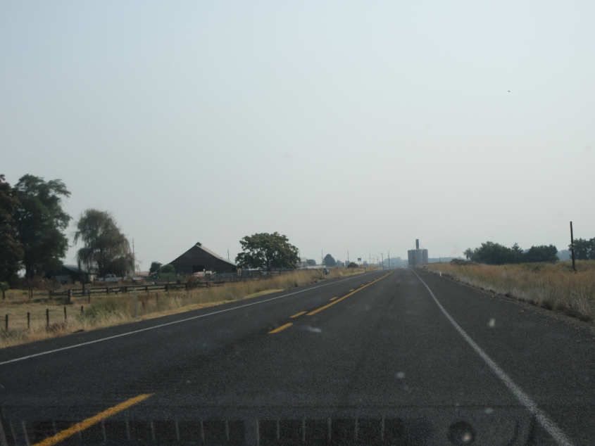
US 12 at the eastern end of US 730.

This has to be east on US 12. US 12 runs from Aberdeen, Wash., to Detroit, but was not extended to Washington state until 1967. Future plans call for a 4-lane divided highway here.

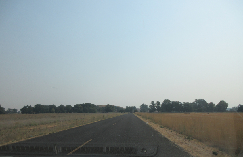
US 12 again.

Here they're in the process of building the divided highway.
Old US 12 west of Walla Walla.

South on Sweagle Road.
East on Whitman Mission Road.

At Whitman Mission National Historic Site, this is a secluded burial ground for settlers. A small sign read, "Very little is known of those who are buried here or of the exact location of the graves." The park marks the Whitman Mission, established by Dr. Marcus Whitman and his wife Narcissa Whitman. The mission was a source of tension with the Cayuse people. An 1847 measles pandemic killed many, and deadly conflicts followed. The events at this mission led to Congress forming Idaho, Oregon, and Washington.

Straight ahead is a depression that marks the old path of the Walla Walla River. This is where the Whitmans' daughter drowned.

This is the site of a 1½-story adobe house built for the mission that became a guest house for Oregon Trail travelers.

The Whitmans helped establish the Oregon Trail. This path here is the actual Oregon Trail - more accurately, a spur of the main trail. It's hard to believe, but when the U.S. highway system was founded, the completion of the Oregon Trail was only as old as some American freeways are in the 2020s.

Back on old US 12.

This has to be US 12, which forms a freeway on the north side of Walla Walla that is mostly elevated on a berm. The freeway opened in 1973, though some locals compared it to the Berlin Wall.

This is Walla Walla, a city of 34,000. This is the city where 30-year-old beer and bubble gum were found hidden behind a library shelf.

The US 12 freeway really isn't much of a freeway. The exit to Rees Avenue is like one of those tight ramps found on earlier freeways.

Wer waw wer wa wa wa wa wa! Wilbur! US 12 ceases to be a freeway here, since the Wilbur Avenue junction is partly at-grade.

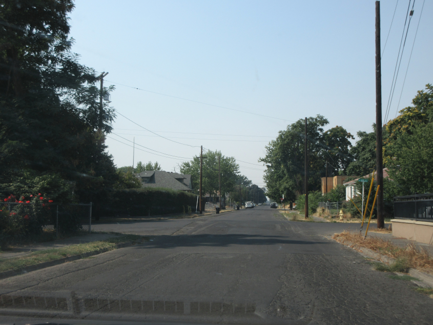
Southeast on 2nd in Walla Walla.

Southwest on Oak at 3rd.
West on Cherry at 6th.
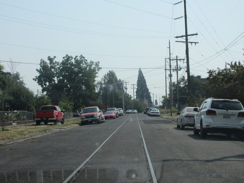
Southeast on 6th. This street appears to have a rail line running down the middle, though even a 1968 map shows it's gone.

Southeast on WA 125 (9th Street) at Poplar. This is the last photo from this 9-part shoot, but this trip was so action-packed that it has a whole second shoot as we head back east! There were more surprises in the next few days!