NEW MEXICO trip
Oct. 12-19 2023
PART 2

Dallas/Fort Worth gets a whole part of this photo shoot. Best all, a Dallas/Fort Worth is what cool people call it when someone blows two bubbles with bubble gum side by side. Anybip, this is I-30 in Dallas, right where it's gunked up with I-35E. The arches are for the Margaret McDermott Bridge, which carries I-30 across the Trinity River. I got a similar photo here during my 2017 Big Bend trip.

The Houston Street viaduct.

Downtown Dallas from this angle is dominated by Reunion Tower, the Sunsphere-like structure at left. It was completed in 1978. The tower appeared in RoboCop even though the film was set in Detroit.

Here we cross the Margaret McDermott Bridge, and this photo is strikingly like one I took in 2017. The bridge was part of a major project that also included the Margaret Hunt Hill Bridge. A third bridge was scrapped. The freeway portion of the Margaret McDermott Bridge opened in 2013, but the bike and pedestrian paths were of course delayed until 2021, because the contractor used the wrong parts and forced lengthy repairs. After that babyish dispute, total cost of the bridge exceeded $200 million.

A view of the Margaret Hunt Hill Bridge, an award-winning 2012 span carrying TX Spur 366. The support arch is an amazing 400 feet high!

I-30 goes under Fort Worth Avenue. I-30 here was once the Dallas-Fort Worth Turnpike, a toll freeway built in 1957. It was toll until 1977.

Going under Hampton Road.

It looks like there's a whole other city in the distance, and I'm not even sure what. Irving maybe? Perhaps something near Love Field? Love Field is the airport that used 7-foot-tall robots to harass passengers and call police.

The hat on the beams for the bridges is the emblem of Tom Landry, who coached the Dallas Cowboys when it was the most televised NFL team.

It looks as if I-30 has a toll express lane.

From I-30, this is looking north on a freeway stretch of TX Loop 12, which forms a full loop around central Dallas. This suggests the tall buildings probably are Irving.
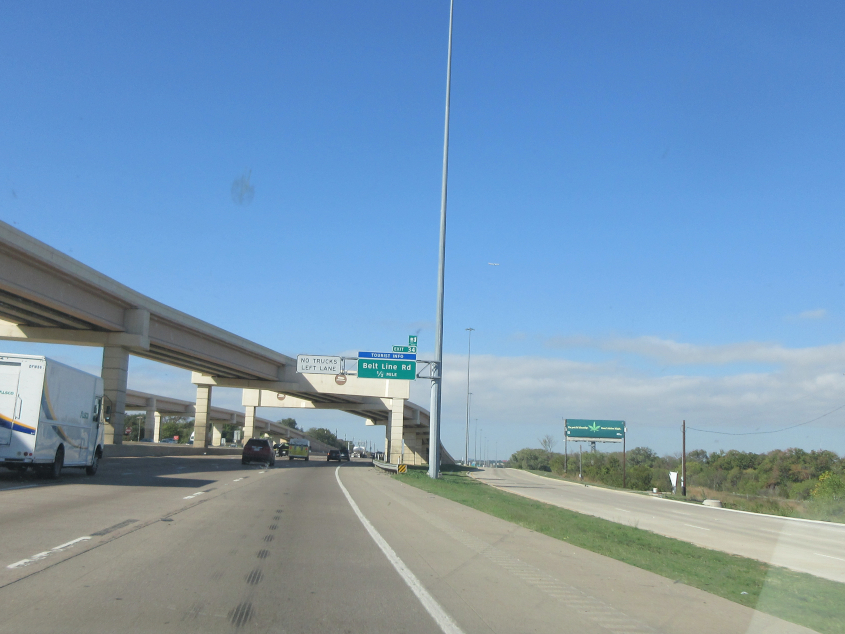
I-30 in Grand Prairie.

They actually have a road called AT&T Way - named for the telcom monopoly that tried billing me for services I didn't order, allowed users of its Internet provider to harass me, and took over CNN. Suitably enough, as we were driving through here, we heard "99" by Toto on the radio, a song about a dystopian, totalitarian future.

The AT&T tyranny continues.

Another sighting of Tom Landry's trademark hat.

Texas's penchant for soaring bridges is seen again at the junction with I-820, the Fort Worth loop.

Downtown Fort Worth pops into view. As of the 2020 census, Fort Worth is America's 13th-biggest city, with over 900,000 people.

I-30 continues into Fort Worth.

It's...Fort Worth!

I-30 again. We could have taken I-20, which bypasses Dallas and Fort Worth on the south, but it was probably just as congested and less exciting.

Perhaps the most prominent building from this angle is the Omni Fort Worth Hotel, built in 2009. That luxury inn has an oddly narrow profile.

This might be a part of Fort Worth I had never explored!

The wide arrow represents I-30.

Another example of Texas's sweeping, soaring bridges.